Tesla's New Maps: FSD's Path to Navigation Control
Tesla is developing its own mapping system to address recurring problems with its Full Self-Driving capabilities.
By Thomas Reynolds ·
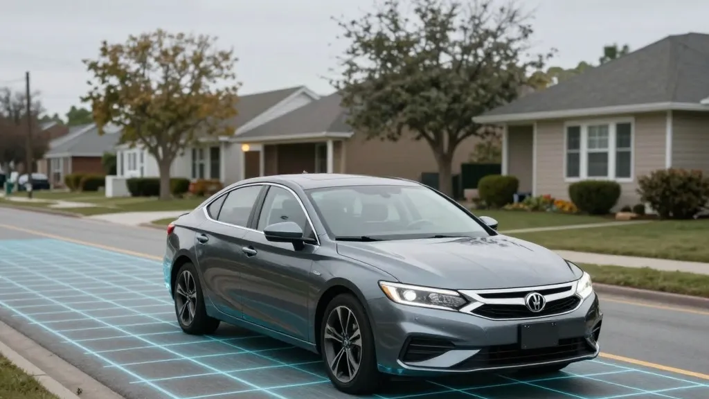
Tesla is developing its own map and navigation system to address persistent issues with its Full Self-Driving (FSD) software, including speed limit recognition, parking, and route selection. The company's Vice President of AI, Ashok Elluswamy, outlined the initiative during Tesla's Q3 2026 earnings call, stating, "we shouldn't be depending on external people's maps." This move represents a significant strategic pivot for a company whose leadership has long argued that relying on detailed maps makes self-driving systems fragile and limited to specific areas.
This new direction began with a shareholder question regarding FSD's ongoing difficulties with speed limits and parking, specifically asking why Tesla continues to rely on third-party map data. In response, Elluswamy confirmed that Tesla is building an AI-based mapping and navigation architecture. This system will utilize data collected from its fleet to learn individual driver preferences and respond to voice commands, aiming to resolve the very issues that have plagued FSD's performance.
Timeline: The history of Tesla's relationship with maps has been complex. In 2015, when launching Autopilot, the company reported building high-precision maps with a granularity 100 times greater than standard navigation systems, using data from its customer vehicles. However, by 2019, Elon Musk described the creation of high-precision lane maps as "a huge mistake" and a "really bad idea" that would make a self-driving system "extremely brittle." This stance was consistent with the company's public rejection of lidar technology, which Musk labeled a "fool's errand" at the same event.
Seven years after that declaration, Tesla is now assembling a map layer from its own fleet to correct errors its vision system cannot resolve. The company is attempting to address shortcomings in its ability to understand the environment, particularly concerning speed limit signs. Recent findings from a Belgian road safety group indicate that FSD operated above the speed limit in 55% of the 30 km/h zones tested in Brussels, averaging 44 km/h, while the vehicle's screen often displayed a 50 km/h limit. Additionally, the National Highway Traffic Safety Administration (NHTSA) is considering an investigation into reports that Tesla Robotaxis travel at unsafe speeds in active school zones, involving approximately 1,000 Model Y and Cybercab vehicles.
The development of this map layer brings Tesla's methodology closer to that of competitors like Waymo, who use detailed maps and lidar sensors to navigate specific areas. Waymo maps a city by driving its sensor-equipped vehicles through it before launching service, and maintains those maps as its fleet operates. Tesla is now describing a similar process: its vehicles collect environmental data, which feeds into a Tesla-built map designed to improve the driving capabilities of every car. While Tesla is not currently producing centimeter-level HD maps, a fleet-built map that continually grows in detail could eventually reach that level of precision.
Tesla's Robotaxi service currently operates in geofenced areas, city by city, with Tesla managing the fleet operations. This is a departure from the company's earlier messaging, which promoted FSD as a universal solution capable of driving anywhere using only cameras and AI, without the need for the detailed maps and lidar used by other autonomous vehicle programs. The company's history with unsupervised FSD in consumer vehicles has also been pushed back, with a release planned for the second quarter of 2027, restricted to the Robotaxi fleet.
What's next is the rollout of this new mapping capability. Elluswamy stated that the technology will begin handling the start and end of trips with FSD v15. Over the subsequent months, the system is expected to take over navigation, parking, and destination handling. This transition aims to correct failures in the vision system's ability to process basic road information, such as speed limit signs, which is a fundamental requirement for safe operation on public roads.
Source: Electrek